Examples#
Here you will find some examples how to use the package. The examples show how you can use the classes directly or use the implemented helper workflows which try to estimate the needed information from image metadata.
Use the classes directly#
These example show how to use the classes for images and mapping directly, for example if you have all the information needed from a service provider, a logfile or a SFM package.
All examples can be found under “examples” in the root directory of that repo.
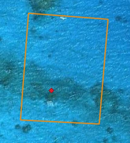
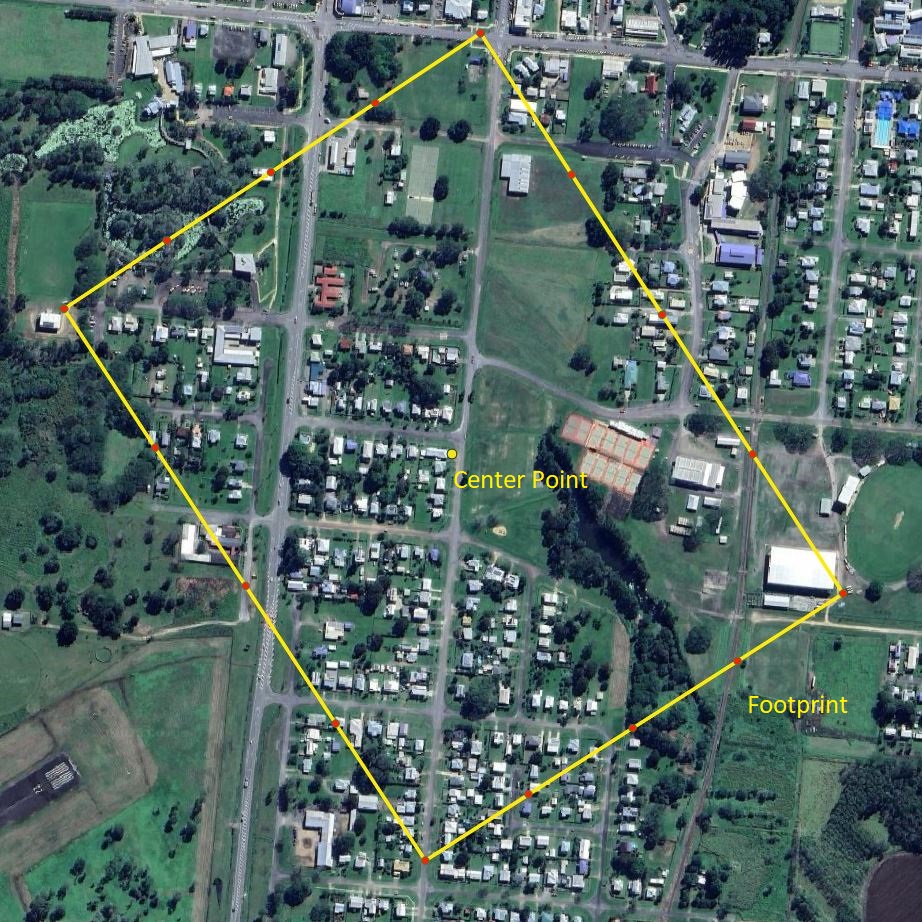
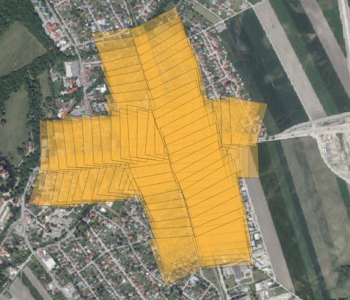
Footprint & Centerpoint
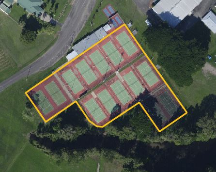
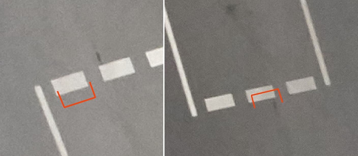
Map image points
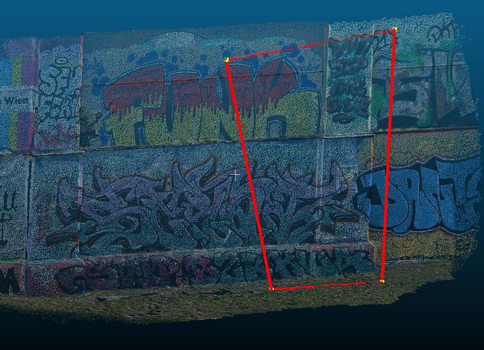
Map on Mesh
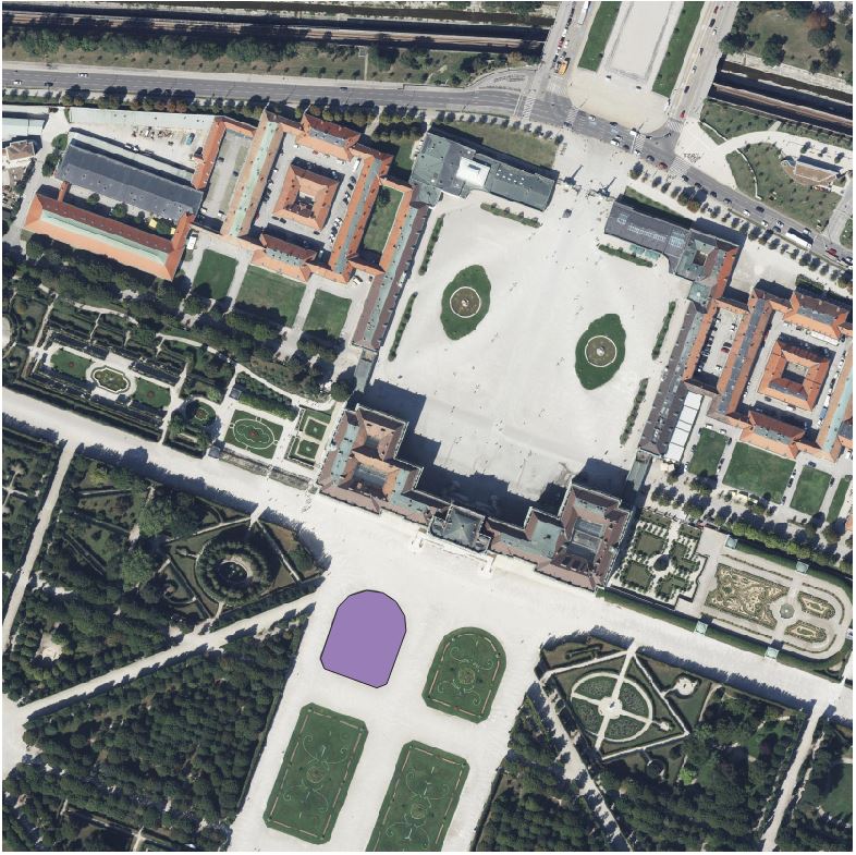
Project 3D points
Footprints with image batch
Projections with image batch
Orthophoto
Helper Workflow#
These example shows a workflow where georeference information is extraced from image’s metadata and used to map objects and find these objects in other images.
Full workflow - Survey digitization
Example EOR from Meta Data